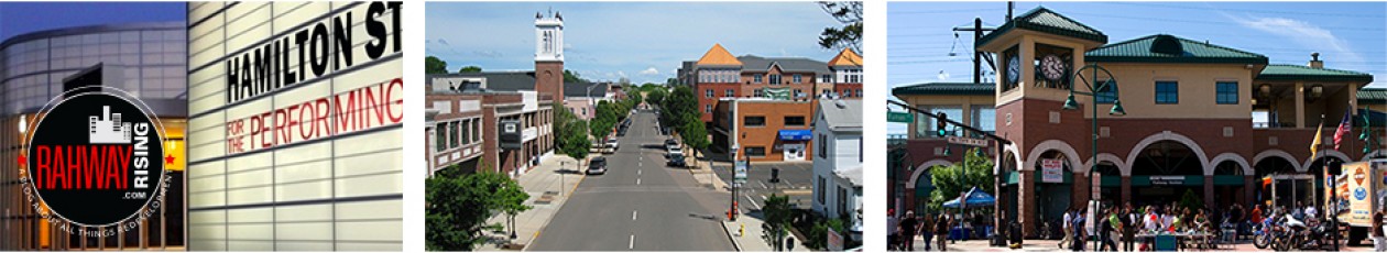
City Council is expected to approve a new zoning map at its next meeting, the first revision of the zoning map in more than a decade.
Become a Patron!
Support local news – become a Patron of RahwayRising.com or make a one-time contribution via PayPal.
The governing body introduced an ordinance (O-2-22) during its Jan. 10 regular meeting to adopt a new official zoning map.
A public hearing and final adoption of the ordinance is scheduled to take place during the City Council’s Feb. 14 regular meeting.

The official zoning map was prepared in 1997 and revised in January 2002, January 2005 and July 2007, according to the ordinance. The new map, dated December 2021, was created by the Red Bank-based firm of Heyer Gruel & Associates (HGA).
The new zoning map incorporates several redevelopment plans that have been created over the last few years, including the Arts District Redevelopment Plan, approved by City Council in May 2020, and the West Grand Avenue Overlay, approved in September 2021.
Changes include recommendations from the 2019 master plan re-examination report, such as the re-zoning of the Motor Vehicle Commission (MVC) site at East Hazelwood Avenue, Woodbridge Road and Randolph Avenue from R-2 (Medium-Density Single-Family Residential), to Light Industrial (I-L),
The zoning map also includes previous changes, such as the Route 1 Corridor Redevelopment Plan (Block 388) adopted in 2003 and the Historic Preservation Overlay.
Become a Patron!
Support local news – become a Patron of RahwayRising.com or make a one-time contribution via PayPal.
